
Tornado With 140 Mph Winds Carves 12-Mile Path In Wisconsin
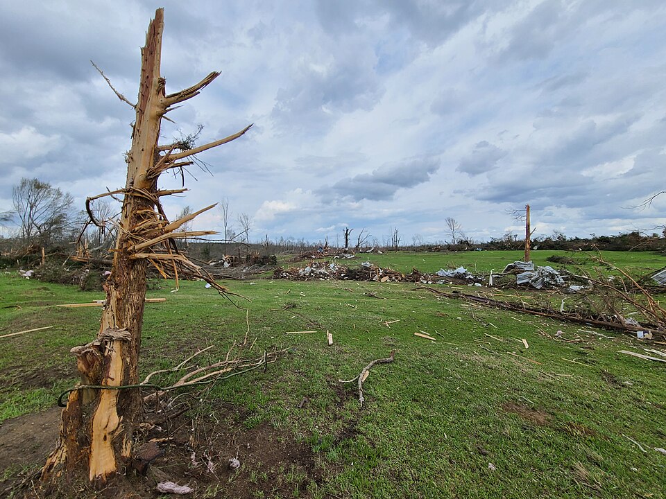
A powerful tornado with estimated 140 mph winds carved about a 12-mile path through central Wisconsin on Monday, July 27, tearing roofs from houses, downing power lines and toppling trees.[1]
The National Weather Service surveyed the corridor and estimated peak winds near 140 mph, mapping a continuous damage swath with downed trees and power lines around cars.[1] Officials and utility crews reported widespread outages and blocked roads as emergency teams worked to secure hazardous debris.[1]
The National Weather Service's post-storm survey gave the twister a preliminary EF-3 rating based on measured and observed damage.[1] Residents and video shared online showed a funnel knocking down power lines near Appleton and drivers narrowly escaping falling debris.
No deaths were reported in initial accounts, and officials urged people to avoid damaged areas while crews restore power and clear roads.
The mainstream summary does not mention the historical context of tornado activity in the region, which has seen severe weather patterns for decades. Notably, @THE_REAL_TIM_K points out that the Menasha-Neenah-Appleton corridor has been affected by tornadoes since at least 1984, suggesting that the area is prone to such severe weather events. This context adds depth to the understanding of the tornado's impact and the community's preparedness for such occurrences.
Additionally, while the mainstream coverage highlights the immediate aftermath of the tornado, it overlooks the broader trend of increasing severe weather events in the Midwest. According to the Wisconsin Severe Weather Climatology project, warmer seasons since 1950 have shifted the frequency of thunderstorms, resulting in more severe weather occurrences in months traditionally considered off-peak. This trend is corroborated by NOAA data showing a rise in billion-dollar weather disasters in Wisconsin, which underscores the escalating risk of severe storms in the region.[2]
Show source details & analysis (1 source)
📌 Key Facts
- On Monday, July 27, 2026, a tornado struck central Wisconsin.
- The National Weather Service estimated the tornado's winds at about 140 mph.
- Surveyors found a 12-mile-long swath of damage with downed trees and power lines around cars.
📰 Source Timeline (1)
Follow how coverage of this story developed over time