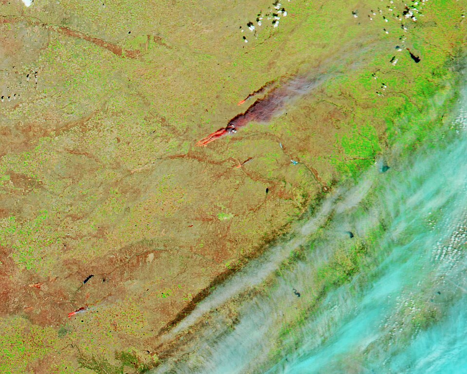
NOAA Warns 15 Million In Central U.S. Face Elevated Wildfire Risk
The elevated wildfire risk began months ago as a dry pattern took hold across the central United States. Spring precipitation ran below normal in many areas. Temperatures climbed earlier than usual and soils and grasses dried out faster than they would in a wetter year.
Those dry fuels set the stage for fire concerns as gusty winds and low humidity moved into the region. Weather forecasts shifted from warm to fire-prone as forecasters tracked persistent dry air and faster vegetation curing. Local fire agencies and utilities increased monitoring and began issuing burn restrictions in exposed counties.
Media coverage shifted from early-season warmth and drought talk to urgent wildfire alerts as conditions worsened. Early reports noted dry landscapes; later reporting emphasized active fire weather watches and red flag warnings for millions of people. Social posts and local advisories amplified the warnings and urged quick precautions.
Now the National Oceanic and Atmospheric Administration warns that about 15 million people in the central U.S. face elevated wildfire risk this week. Millions are under local fire-weather alerts and red flag watches as warm temperatures, low humidity, and gusty winds raise the chance of fast-moving fires. Officials urge avoiding outdoor burning, securing equipment that can spark, and following local evacuation or traffic guidance if fires start.
📌 Key Facts
- More than 15 million people are under fire weather alerts across the central U.S. through Friday, April 24, 2026
- About 3.8 million people in parts of CO, KS, NE, NM, OK and TX are in a "critical" fire weather zone Thursday
- Forecasts call for 50–60 mph wind gusts in the Southern Plains, single-digit humidity and temperatures 15–25 degrees above average
📰 Source Timeline (1)
Follow how coverage of this story developed over time